
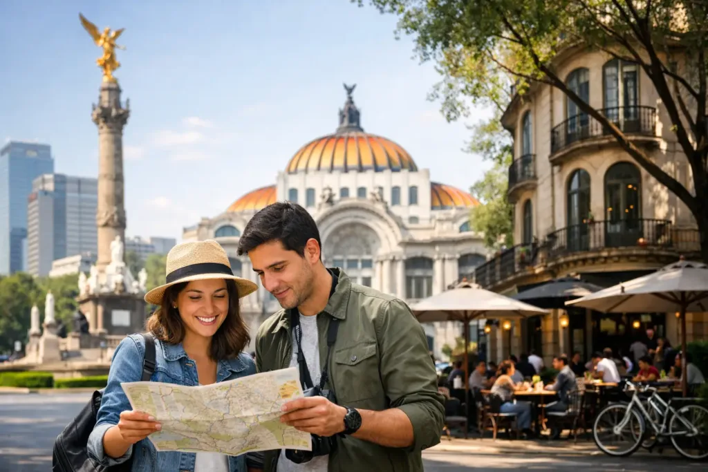
Mexico City rarely asks you to cross the entire city in one day. Its best moments tend to happen close together: coffee in Roma Norte, a gallery in San Miguel Chapultepec, lunch in Condesa, and an evening concert in Juárez. The key to how to navigate Mexico City is not trying to conquer all 600 square miles at once. It is learning the rhythm of a few neighborhoods, choosing transportation that suits the moment, and leaving room for the city to surprise you.
Start by Thinking in Neighborhoods
CDMX is enormous, but daily life feels distinctly local. Each colonia has its own pace, architecture, food culture, and practical logic. Roma and Condesa are especially easy bases for walking, with leafy avenues, independent restaurants, parks, studios, and late-opening bars all within a comfortable radius. Juárez and Cuauhtémoc sit nearby, while Centro Histórico, Coyoacán, and San Ángel each deserve their own unhurried outing rather than being squeezed between appointments.
Before setting out, look at the map less as a grid and more as a collection of small cities. A 15-minute trip can become a 50-minute one in traffic, particularly across long east-west routes or during weekday rush hour. If your plans include a museum in Chapultepec and dinner in Roma, that is an easy pairing. If you are heading to Xochimilco, Teotihuacán, or the south of the city, let that be the main event of the day.
This approach is more than efficient. It gives you time to notice the things that make Mexico City memorable: a panadería window at morning rush, a corner fonda filling up for comida, or the shift in light as the jacarandas frame an afternoon walk.
How to Navigate Mexico City on Foot
Walking is one of the best ways to understand central neighborhoods, and it is often faster than getting in a car for short distances. Roma Norte, Roma Sur, Condesa, Hipódromo, Juárez, and parts of Polanco are particularly rewarding on foot. Streets are full of visual cues: tiled façades, tiny galleries, flower stalls, bookstores, and restaurants that reveal themselves only when you slow down.
A few practical habits make walks more comfortable. Wear shoes that can handle uneven sidewalks and the occasional broken curb. Keep an eye on where you are stepping, especially after rain. At major intersections, follow the traffic signal rather than assuming a turning car will yield. And because altitude can catch visitors off guard, carry water and let your first couple of days move at a gentler pace.
Use daylight and common sense when choosing walking routes. The busier, well-lit streets are generally the pleasant choice after dark, especially when you are still learning the area. If a route feels quiet or unfamiliar late at night, a car ride is usually the better call. Mexico City rewards curiosity, but there is no prize for taking the least convenient route.
Use Ride Apps for Flexible, Door-to-Door Trips
Ride-hailing apps are a practical default for evenings, airport transfers, rainy afternoons, or journeys that involve several bags. They are also useful when you want to move between neighborhoods without deciphering a new transit system on a tight schedule. Confirm the license plate before getting in, sit in the back, and share your trip details with someone when appropriate.
Traffic is the trade-off. A ride that looks quick on a map may stall behind a protest, roadwork, school pickup, or the normal intensity of rush hour. Weekday mornings generally build between 7:00 and 10:00 a.m., while late afternoons can be slow from roughly 5:00 to 8:00 p.m. If you have a reservation across town, leave more time than you think you need.
For shorter central trips, consider whether walking 10 minutes toward a main avenue will make the ride easier. It can help you avoid narrow one-way streets and may save time when the driver is trying to reach you in a congested pocket of Roma or Condesa.
Take the Metro When Time Matters
The Metro is fast, inexpensive, and deeply woven into the city’s daily life. It is especially useful for direct routes outside the central neighborhoods, including trips toward Centro Histórico, Coyoacán, or parts of the south and east. Stations use names, colors, and pictograms, which makes the system friendlier than it first appears.
Buy a rechargeable mobility card at a station and keep a small balance on it. The same card can work across multiple public transit services, so it is worth having even if you only use transit a few times. Avoid peak periods if you can, especially if you are carrying luggage or simply prefer a little breathing room. Cars can be very crowded, and the experience is more pleasant when you are not arriving just as office workers and students are commuting.
Keep your phone and wallet secure in crowded spaces, as you would in any major city. A crossbody bag worn in front is practical. If you are unsure about a transfer, step aside, check your route, and continue when you are ready. There is no need to rush because everyone else is moving quickly.
The Metrobús is another helpful option, running in dedicated lanes along major corridors. It can be an excellent middle ground between the Metro and a car ride, particularly when surface traffic is heavy. Like the Metro, it becomes easiest after you have used it once or twice.
Choose Bikes and Scooters for the Right Distance
Mexico City’s bike infrastructure has grown considerably, particularly around Reforma, Chapultepec, Roma, Condesa, and the surrounding central districts. Public bike share and rental options can be lovely for a sunny daytime ride, especially through Parque México, along Paseo de la Reforma, or around Chapultepec’s edges.
Still, biking is not the answer to every trip. The city’s traffic demands confidence, and cobblestones, potholes, rain, and high-altitude exertion can change an easy-looking route. If you are not accustomed to urban cycling, choose a protected path or a leisurely park route rather than treating a bike as your primary transportation plan. Scooters carry similar considerations, plus the challenge of unpredictable pavement.
Plan Around Traffic, Rain, and Altitude
The most useful local navigation skill is knowing when to adjust. A sudden downpour can flood streets quickly and make a 10-minute walk less appealing. During the rainy season, usually from late spring into fall, mornings may begin bright before afternoon storms arrive. A compact umbrella and a little schedule flexibility go a long way.
Altitude is another quiet factor. Mexico City sits more than 7,000 feet above sea level, so a steep walk or a long day of museums may feel different than expected. Give yourself time to acclimate, drink water regularly, and do not schedule every day like a checklist. A long lunch, a coffee break, or an hour back at your base is part of the pace, not lost time.
Let Food and Culture Shape Your Route
The most satisfying days often follow a loose thread rather than a rigid itinerary. Build an afternoon around a market, a museum, a neighborhood walk, and one meal you are genuinely excited about. In Centro Histórico, begin early and expect crowds as the day unfolds. In Coyoacán, arrive with enough time to wander beyond the main plazas. In Roma, leave a little space between plans, because a design shop, wine bar, or small exhibition may pull you off course.
Reservations matter for sought-after restaurants, especially on Thursday through Saturday evenings. If you are meeting friends across town, choose a place near a Metro stop or a major avenue and allow for traffic. Mexico City social life is generous with time, and arriving calm is better than arriving exactly on schedule after a stressful cross-city ride.
A good day here has a center, not a packed route. Pick one neighborhood, one cultural stop, and one place to eat well. Once you know how to navigate Mexico City this way, the city starts to feel less vast and more like a series of invitations waiting around the next corner.